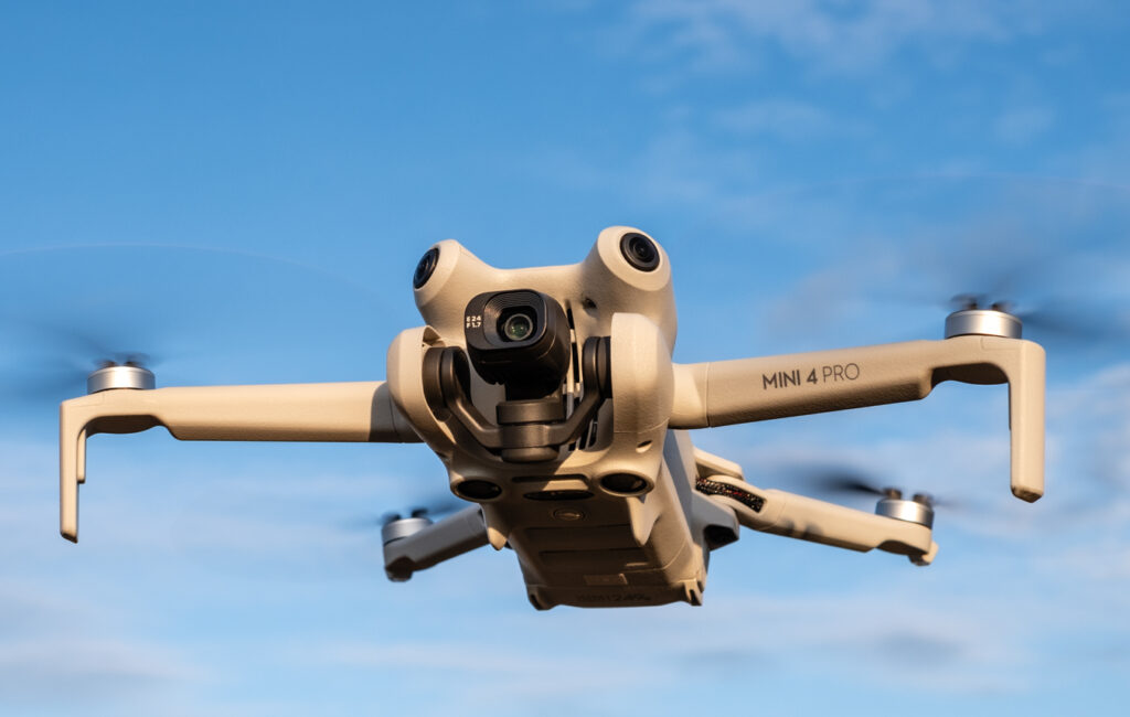
Drone photogrammetry is the science of taking measurements from photographs. It’s commonly used in surveying and mapping applications, as well as in 3D modeling. Photogrammetry uses a variety of techniques to measure things like distance, angles, and elevation.
Drone photogrammetry is not to be confused with drone photography, which is simply taking pictures with a drone. While photographs are essential to photogrammetry, the process involves much more than just taking pictures.
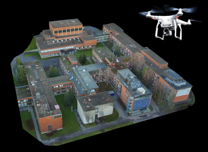
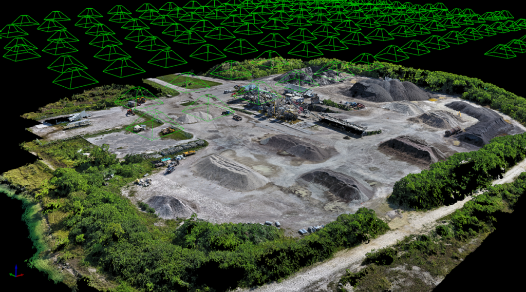
The construction industry is another sector where drone photogrammetry can be useful. Construction sites are often large and complex, making it difficult to get a clear overview of the project. This can lead to errors and delays.
Drones can be used to create a detailed map of a construction site, allowing for better planning and coordination. This is especially valuable for larger projects, such as the construction of a new highway or industrial warehouse.
In addition, drones can be used to inspect finished products, such as bridges or buildings. This can help identify potential problems early on, before they become expensive repairs.