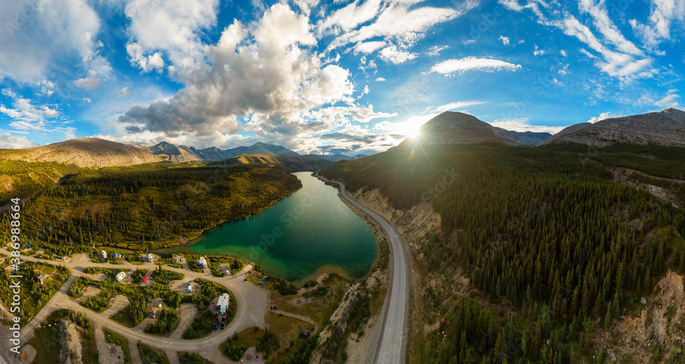
- It gives you a unique perspective.
Aerial photography provides a unique perspective of a property or location that cannot be obtained from ground level. This can provide valuable information and insights that can be used for a variety of purposes. This includes as marketing and promoting real estate properties, planning and documenting construction projects, and conducting land use and environmental analyses.

The ability to see the terrain from a bird’s eye perspective is beneficial in many applications. It has become increasingly important to capture images from this perspective, particularly when remote sensing is employed. These include topographic mapping, engineering, environmental science, and agriculture.
It is also possible to track construction projects and other structures from a large-scale perspective, which is not always possible with site visits or satellite images alone.
- It offers effective marketing and promotion.
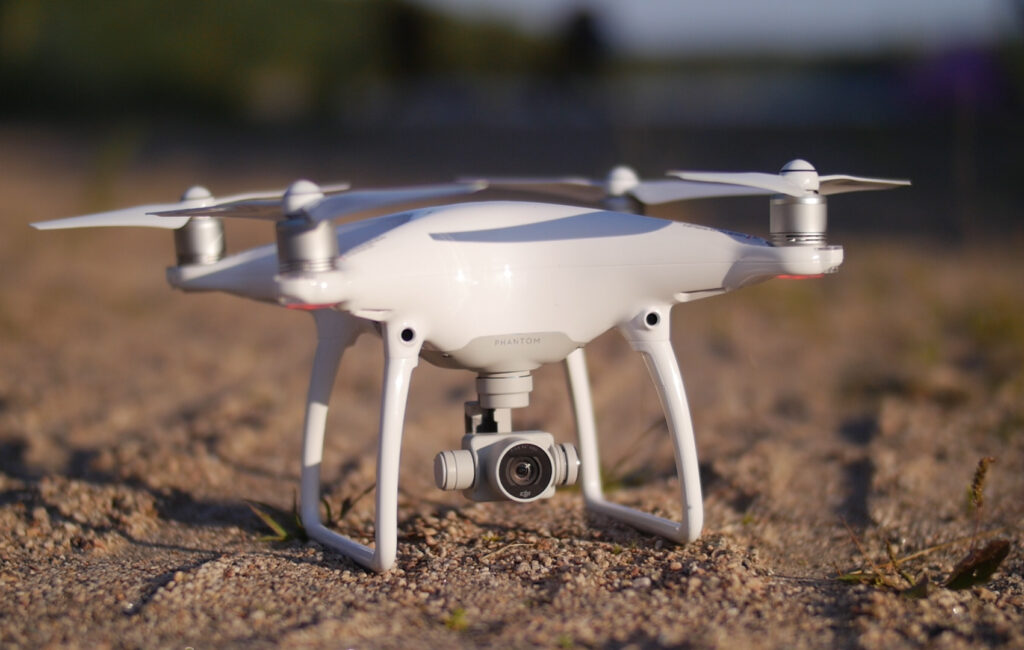
Aerial photography can be used to effectively promote and market real estate properties, construction projects, and other developments. With drones, you can take aerial shots for your marketing videos that are easier, more cost-efficient, and more immersive. It also gives them the opportunity to reach hard-to-reach places and be close to action.
These technologies have become increasingly popular in marketing arsenals of businesses who have chosen to implement them. Taking pictures from this innovative perspective instead of traditional photography impresses potential clients and investors. Real estate and property markets benefit from this when they target specific markets, such as waterfront property or luxury homes.
- It improves planning and documentation.
Aerial photographs can be used to document progress on construction projects, plan land development, and survey property lines. This helps real estate markets target specific markets, such as waterfront properties. It is possible to measure distances, surfaces, elevations, and volumes accurately with these maps that are essential for planning and documentation.
- It ensures safety and cost efficiency.
Aerial photography can be used to conduct inspections and survey sites in a safe and efficient manner, reducing the need for ground-based inspections and surveys.
Drones have significantly reduced the cost of employing full-sized equipment like helicopters and cranes due to the introduction of modern technologies. With drones, businesses and projects can now benefit from aerial photography. It would have been prohibitively expensive if they had used human aircraft, which cost a tenth of the price of drones.
In areas where manned flight is risky and satellite images cannot provide sufficient detail, aerial photography is commonly required. Drones are an ideal solution for acquiring aerial imagery while maintaining a high level of safety.
- It provides detail focus with higher efficiency.
Using drones for aerial photography allows you to focus on details that might not be visible from ground level, like the condition of a roof or the layout of the surrounding area, while also being efficient with the time and cost involved.
Aside from just taking visual shots, drones can also be outfitted with sensors like LIDAR, thermal imaging, hyperspectral and more. For industries like agriculture, mining and construction, this gives the client more detailed data to analyze.
- It provides an accuracy of scale and proportions.
Aerial photography is particularly useful for applications such as marketing luxury residences in the real estate industry, building large-scale infrastructure, and providing military intelligence. In addition to resolving land conflicts and property borders, it has also proved effective in resolving legal issues.
Aerial photographs can also be used for comparing the features of a landscape or object from different sides. From a landscape with mountains in one direction and flat ground in the other, these two variations have no distortion.
- It provides unrestricted access.
Having access to areas that are otherwise difficult to view is a huge plus in many applications. Drones allow aerial images to be taken without being obstructed by trees, buildings, or other obstacles on the ground. It provides valuable information for decision-making and planning because it allows clear views of difficult-to-reach areas. - It provides access to any subject.
Aerial photography, by its very nature, makes accessing hard-to-reach places easier than ever before. With a pre-planned flight path or the skills of an experienced pilot, drones can access towers, masts, roofs, tall buildings and wind turbines with ease and with excellent results. Remote access and up to 30x zoom from the drone’s optics enable the thorough inspection and documentation of any subject through aerial photography. - It takes high-quality pictures quickly.
Drones have the ability to cover large areas in a short amount of time due to their flexibility. The sheer speed at which aerial photography can be completed is also due to pre-planned flight paths. Projects with short turnaround times benefit from this method as it reduces the time between planning and data processing.
While it is true that aerial photography can provide valuable information and insights for a wide range of industries, it is important to note that investing in it may not be the best decision for every business or field. The use of aerial photography can be expensive, and the costs of purchasing and operating a drone, as well as the training required to safely and effectively use it, should be considered.
Additionally, there may be legal and regulatory requirements that must be met, such as obtaining a pilot’s license and obtaining permission to fly in certain areas. It’s also important to consider if there are other solutions that could provide similar benefits at a lower cost. It is best to thoroughly research and evaluate the potential benefits and costs of investing in aerial photography before making a decision.


